
ArcGIS Online
An intuitive program that helps users quickly and accurately create digital maps with existing spreadsheets

- Category CAD & PLM Software
- Languages Arabic, Catalan, Czech, Danish, German, Greek, English, Estonian, Finnish, French, Hebrew, Hindi, Croatian, Hungarian, Indonesian, Italian, Japanese, Korean, Latvian, Lithuanian, Dutch, Norwegian, Polish, Portuguese, Romanian, Russian, Slovenian, Spanish, Serbian, Swedish, Thai, Turkish, Vietnamese
An advanced cloud-based mapping and analysis solution for all levels of users.
Overview
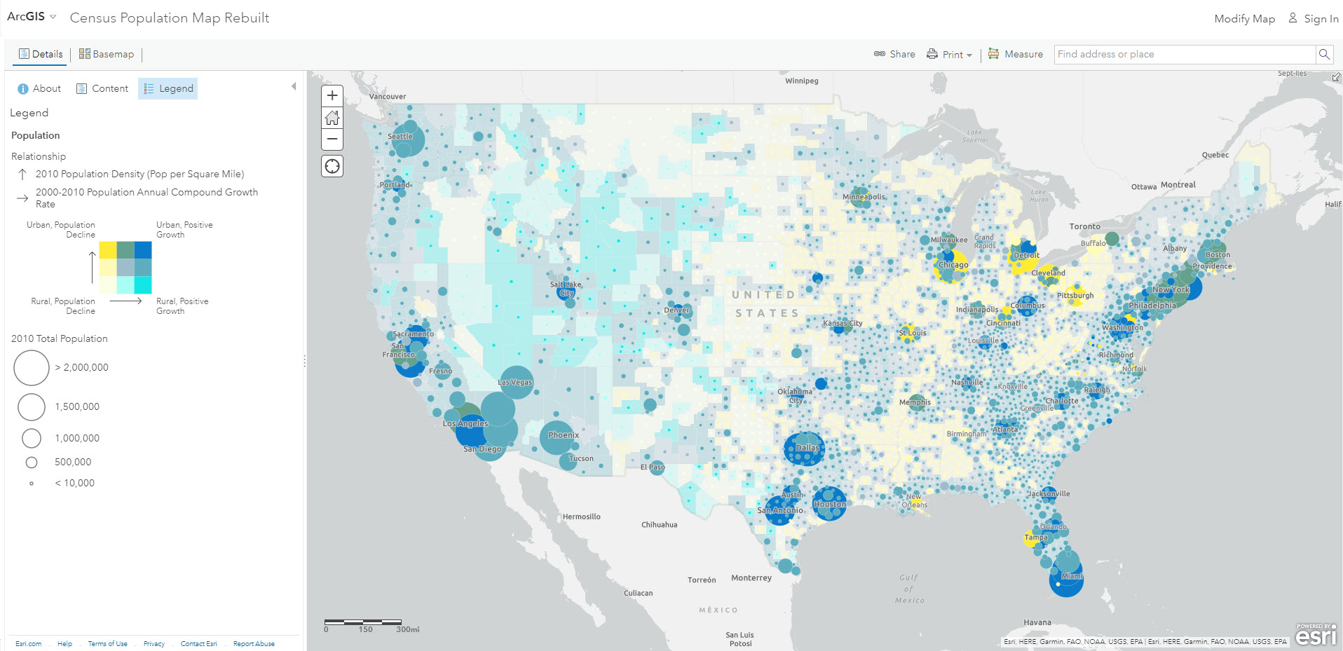
ArcGIS Online is a comprehensive, cloud-based mapping and spatial analysis solution. It provides users with the ability to visualize, question, analyze, and interpret data to understand relationships, patterns, and trends.
Features
Maps and Data Visualization: ArcGIS Online excels at creating interactive maps and visualizing data. Users can access a vast collection of basemaps, demographic data, and imagery. They can also add their own data or use data shared by the ArcGIS community.
Analysis Tools: ArcGIS Online provides a variety of tools for spatial analysis. It allows users to measure geographic impacts, predict trends, and make data-driven decisions.
Collaboration and Sharing: ArcGIS Online fosters collaboration by allowing users to share maps, data, and applications with others within their organization or publicly.
Integration: ArcGIS Online integrates seamlessly with other ArcGIS applications and third-party applications, enhancing its functionality.
Performance
ArcGIS Online provides fast and reliable performance, even when dealing with large datasets and complex analyses. The platform's cloud-based nature allows it to scale resources as needed, ensuring it can handle any task.
Usability
While ArcGIS Online offers advanced features, it remains user-friendly. It caters to all levels of users, from beginners to experienced GIS professionals. Its interface is intuitive, and it provides ample resources for learning how to use its features.
Support
ArcGIS Online offers robust support to its users. It includes comprehensive documentation, tutorial videos, and a community forum for troubleshooting and learning new techniques.
Value for Money
ArcGIS Online offers various subscription plans to cater to different user needs. Given its range of features, performance, and support, it provides excellent value for money.
Conclusion
In conclusion, ArcGIS Online is a powerful and versatile mapping and spatial analysis tool. Whether for personal, academic, or professional use, it provides an excellent solution for visualizing and analyzing geographic data.
Highest-Rated Features:
- Geocoding
- Buffer Zone Query
- Publishing
Lowest-Rated Features:
- Data Manipulation
- Reporting
- Real-Time Streaming

- Company
- Esri
- HQ Location
- Redlands, CA
- Year Founded
- 1969